Ever since I saw this mountain from the peak of McGuire
years ago it's been on my target list. I did this hike with a colleague in
August 2012, but wildfires obstructed the views, especially to the north
looking towards Chilliwack. Even though the experience was incredible, I had to
come back in clear conditions to get better pictures. Although it's a bit early
in the season, the weather forecast for Victoria Day was sunny blue skies, so
we decided to check it out. We parked out vehicle at the 3 km mark on Twin
Lakes Road and walked the remaining 4 km to the trailhead. We were able to make
out a faint trail for the first kilometer or two, but then quickly went off
course and headed straight up into the alpine. We first summited Yellow Aster
Butte, before continuing down into the tarn laced valley and back up towards
Tomyhoi. The clouds made for fantastic photos and a nice strong breeze was
invigorating! The entire hike I was unsure if we'd be able to summit, but the
rock was clear and dry allowing for a fairly easy scrambling. An awesome day to
spend in the mountains...definitely one of my favorite hiking experiences!
 |
| The spiney ridge between Mount Larrabee & the American Border Peak. |


 |
| Tomyhoi Peak way out in the distance as seen from the Yellow Aster Butte Summit. |
 |
| Mount Shukshan in the distance. |
 |
| Ptarmagin! |
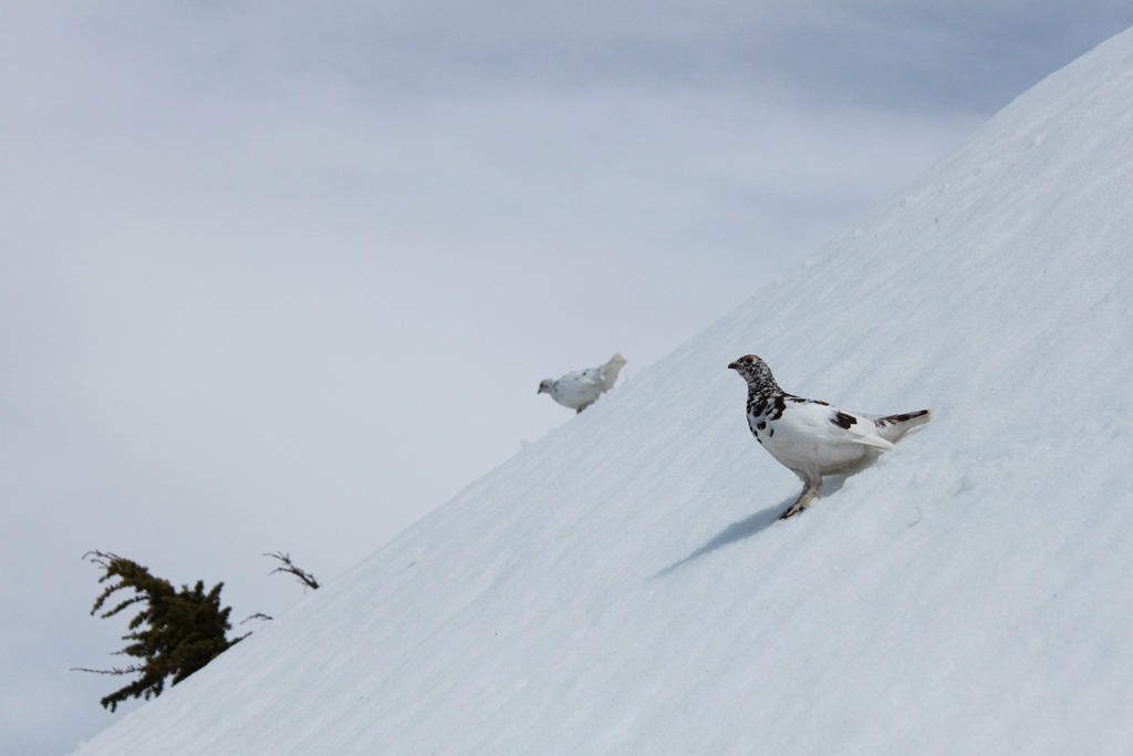 |
| & mate :) |
 |
| I'm always surprised by their reluctance to just fly away...this guy is scaling a slippery slope to escape my invasion! |


 |
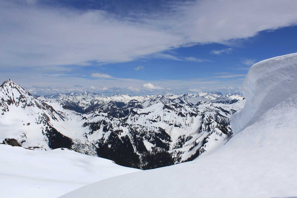
| Cornices everywhere! |

 |
| North Cascades...oh the possibilities! |
 |
| False Summit. |

 |
| Cheam Range. |

 |
| American Border Peak to the right and Canadian Border Peak to the Left. |


 |
| Ruth the rockclimber! |
 |
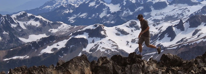
| John the poser! |
 |
| Mount McGuire! |


 |
| Ruth chillin at the summit. |


